Montenegro · UNESCO · Kamenari–Lepetane ferry
Bay of Kotor: ferry, boat trips and places around it
The bay has no entry ticket and no opening hours: what it does have is a ferry, boat trips, Roman mosaics at Risan and the road up to Lovćen. Official fares, hours and the date we read them.
In short
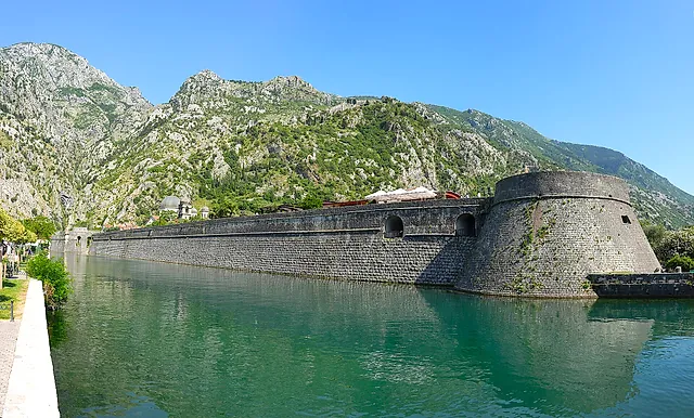
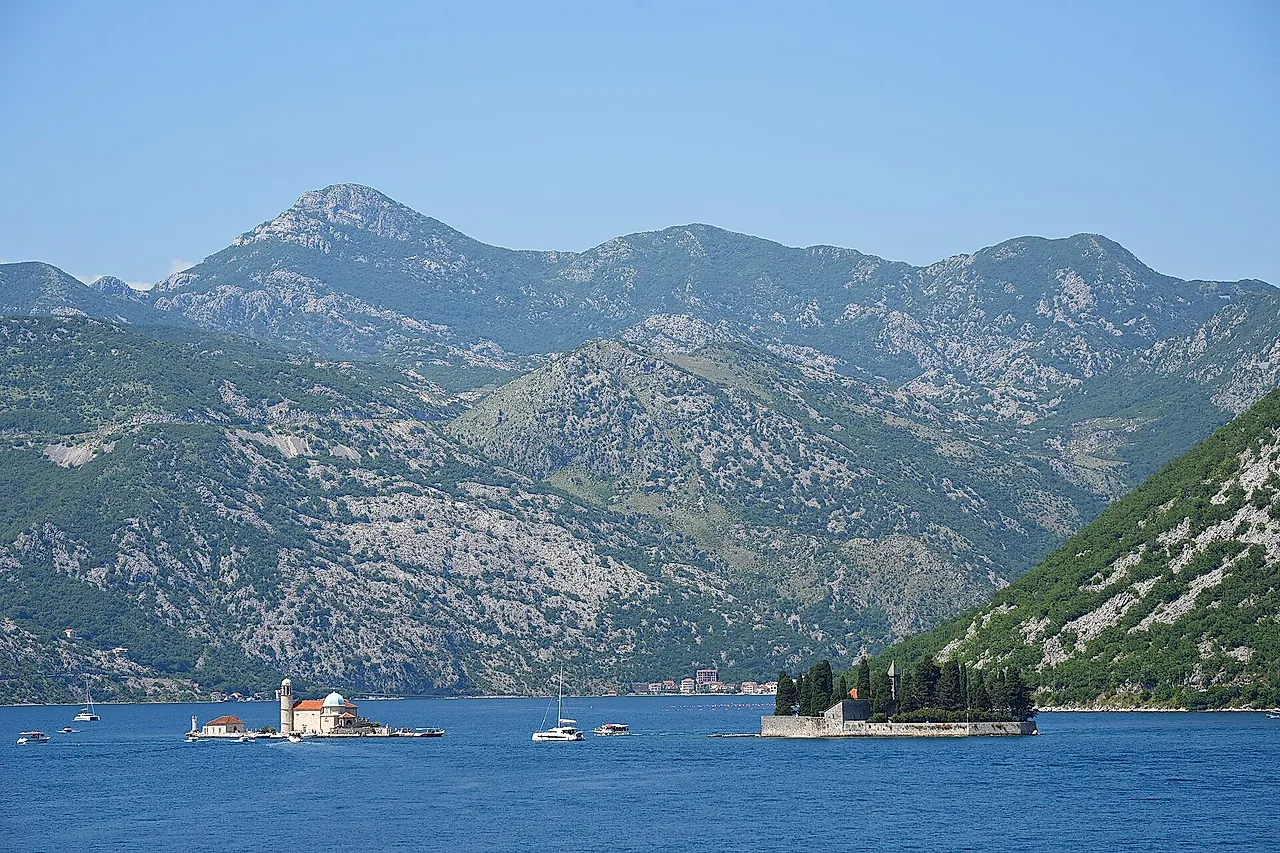
- The Bay of Kotor has been a UNESCO World Heritage Site since 1979 (“Natural and Culturo-Historical Region of Kotor”, 14,600 ha). The inscribed part is the south-eastern inner bay: two connected bays ringed by mountains, joined to the rest of the bay by a narrow channel (UNESCO).
- It is often called a fjord; in geology it is a ria, a drowned river valley.
- The bay itself has no opening hours or ticket: each place around it has its own, on the Kotor and Perast pages.
- The Kamenari–Lepetane ferry runs on its winter timetable from 12 October 2026 to 2 May 2027: every 20 minutes from 6:00 to midnight, then once an hour. A car costs €4 in the operator’s online shop and €5 in its price list, so the fare is not confirmed: check when you buy. We could not confirm the fare for pedestrians.
- Boat trips on the bay, a private tour and a day trip from Dubrovnik are sold by our booking partners and listed on the Tickets page.
What the bay is
The Bay of Kotor is made of several linked bays: Tivat on the outer side, Herceg Novi towards the open sea, and the inner bays of Risan to the north-west and Kotor to the south-east. The Verige strait, 2,300 m long and 340 m wide at its narrowest point, separates the inner bay from the bay of Tivat (Wikipedia).
Wikipedia describes the bay as a ria of the vanished Bokelj river, that is, a river valley drowned by the sea; a fjord is a drowned glacial valley. Travel writers a century ago already called it a fjord in a loose sense: Wyon and Prance, The Land of the Black Mountain (1903, pp. 33–34) saw in it a union of Norwegian fjords and Swiss lakes, and Baedeker’s Austria-Hungary (1911, p. 408) compared it to the Lake of Lucerne, with three basins joined by narrow straits. Figures for its length and coastline differ from source to source, so we give none.
The Kamenari–Lepetane ferry
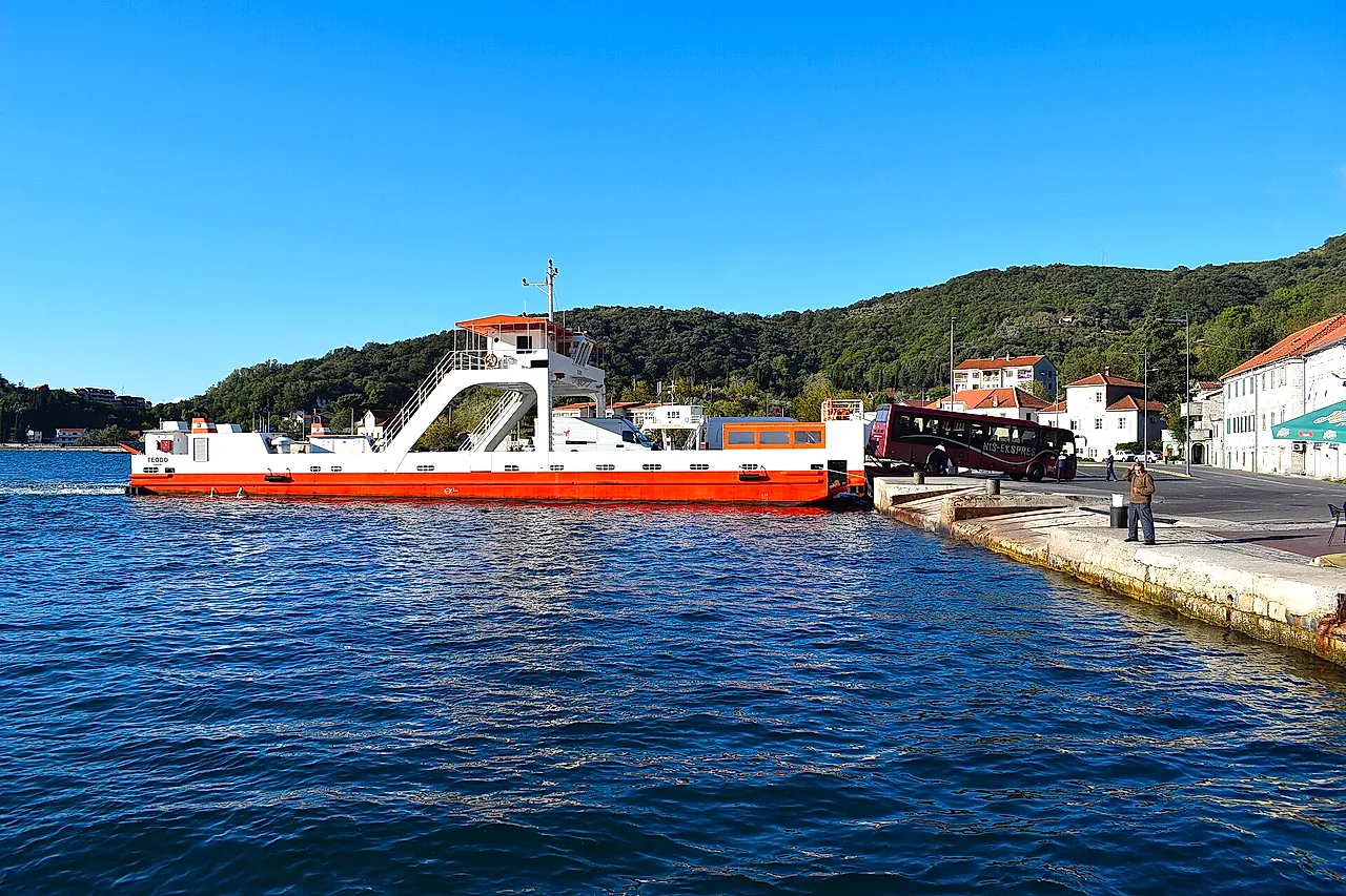
The ferry crosses the Verige strait, about 1 km, in about 15 minutes according to the tables of the operator’s summer timetable. In the winter timetable (12 October 2026 to 2 May 2027) ferries leave Kamenari at :00, :20 and :40 and Lepetane at :10, :30 and :50, from 6:00 to midnight, and then once an hour through the night: from Kamenari on the hour, from Lepetane on the half hour. The operator’s page describes the summer timetable (4 May to 11 October 2026) as a ferry every 15 to 20 minutes, day and night.
The operator is a state-owned public company. Tickets can be bought in its online shop (choose the date, pay by Visa or Mastercard, receive a QR code by e-mail), and the operator’s conditions allow withdrawal within 14 days of the purchase. We could not confirm whether the online ticket gives priority at the ramp, or what happens in bad weather. To reach Kotor you can also skip the ferry: the road round the inner bay by Verige, Risan and Perast is about 29.5 km from Kamenari (our estimate: about 48 minutes).
Risan and its Roman mosaics
Risan is on the north-western arm of the inner bay, 17.9 km from Kotor by road (about 29 minutes, our estimate). The site shows the floor mosaics of a Roman town villa of the 2nd century AD, found in 1930; Museums Kotor singles out one that shows Hypnos, the god of sleep, in a medallion. The complex covers about 790 square metres. The ticket is €6, with the same hours and closing days as the Perast museum (Museums Kotor pages).
Lovćen and Cetinje
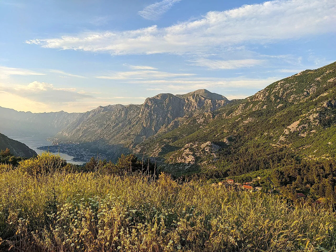
The Njegoš Mausoleum stands at 1,660 m on Jezerski vrh, in the Lovćen National Park. It was built in 1974 to a design by Ivan Meštrović and is reached through a tunnel and 461 steps. Admission is €8 (students €4), open 9:00 to 18:00 until 15 November 2026 and closed to visits from 16 November until mid-April. The park charges €3 per person per day (children up to 15 free); we could not confirm where it is collected.
From Kotor, by our routing estimates without traffic: Njeguši 22.3 km, about 31 minutes; the mausoleum 30.8 km, about 38 minutes; Cetinje 48.2 km, about 67 minutes. In Cetinje, King Nikola’s Museum costs €8, a combined ticket for all the museums and the mausoleum €20, and parking in the town centre €2 a day (National Museum of Montenegro). A century ago the road was already the sight: Wyon and Prance, The Land of the Black Mountain (1903, pp. 36–37) call the Austrian-built road to Cetinje a masterpiece of engineering, with Cattaro always in view.
Budva
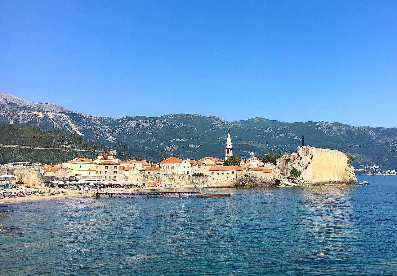
Budva’s walled old town, with a citadel at its highest point in the south, is 22.2 km from Kotor by road, about 31 minutes (our estimate). Budva is not part of the area inscribed by UNESCO. Baedeker’s Austria-Hungary (1911, p. 410) gives a daily diligence from Cattaro to Budua taking 3¾ hours.
Tivat and Herceg Novi
Tivat is 10.3 km from Kotor (about 14 minutes) and has the airport and a yacht marina. Herceg Novi is 32.5 km away, about 51 minutes by our estimate, which includes the ferry crossing. Baedeker’s Austria-Hungary (1911, p. 409) describes Castelnuovo with ivy-clad walls partly destroyed by earthquakes and a Spanish fort contested between Turks and Venetians; Wikipedia says the town was founded in 1382 by King Tvrtko I of Bosnia.